
A standard 60-foot-wide suburban lot with a 25-foot front setback, a 15-foot rear setback, and two 5-foot side setbacks leaves only 50 feet of buildable width and depth after subtracting those margins from a 120-foot-long parcel. That reduction eliminates roughly 40 percent of the total lot area before an architect sketches a single wall. For any residential architectural design project, mapping these legal boundaries first avoids paying for floor plans that cannot be built. This process turns zoning ordinances, recorded plats, and fire codes into physical limits that dictate massing before schematic design begins. See also: test a residential floor plan.
Contents
- How do property-line setbacks define the buildable envelope for architectural design?
- How do corner lots and irregular boundaries change setback geometry?
- What does a recorded utility or drainage easement mean for house designers near me?
- How do zoning overlays and fire-separation distances restrict residential architecture?
- Checklist: Mapping constraints before starting architectural design
Key takeaways
- Property-line setbacks establish the maximum buildable area on a lot by requiring minimum distances between structures and legal boundaries.
- Corner lots require intersecting front-yard setbacks on two street-facing sides, often combined with visibility triangles that further reduce the buildable envelope.
- A recorded easement grants third parties legal access across a portion of the property and prohibits permanent structures within its boundaries.
- Zoning overlays such as historic districts, floodplains, or environmental corridors add setback layers beyond base zoning.
- Before drafting floor plans, owners must map all legal and physical constraints onto a boundary survey.
How do property-line setbacks define the buildable envelope for architectural design?
Property-line setbacks establish the maximum buildable area on a lot by requiring minimum distances between structures and legal boundaries. Front, side, and rear setbacks shrink the available footprint, determining where foundation walls can be placed before any floor plan is drawn.
Check dimensions against your local zoning ordinance, because R1 and R2 single-family districts assign different values to each yard. Determine the buildable envelope using this decision checklist:
- Pull the recorded plat to confirm exact lot dimensions instead of relying on marketing materials or tax assessor approximations.
These minimums apply strictly to new construction. A renovation that modifies interior partitions within an existing shell often avoids triggering current setback requirements, provided the exterior walls remain in their original non-conforming position. Adding square footage through an expansion forces the new structure to comply with current codes. Check the local municipal code definitions directly, because some jurisdictions measure setbacks from the street right-of-way line rather than the actual property boundary, adding several feet to the required distance.
Fire-separation distances govern how close you can build to a property line regardless of zero-lot-line allowances. The International Residential Code Section R302 ties exterior wall construction directly to proximity to lot lines. When an exterior wall sits less than 3 feet from the property line, the code requires a minimum 1-hour fire-resistance rating on that wall face and prohibits window or vent openings entirely. Between 3 feet and 5 feet, the wall still needs a 1-hour rating, but openings are permitted up to 25 percent of the wall area. Beyond 5 feet, standard combustible framing typically applies without additional fire-rating requirements. These thresholds require house designers near me to adjust window schedules and structural assemblies long before schematic design begins.
Once setback and fire-rating calculations establish the basic rectangular envelope, standard lots present straightforward math. Parcels with angled boundaries introduce intersecting planes that reduce the buildable area further. Corner lots and irregular boundaries change setback geometry in ways that a simple rectangular calculation cannot predict.
How do corner lots and irregular boundaries change setback geometry?
Corner lots require intersecting front-yard setbacks on two street-facing sides, often combined with visibility triangles that further reduce the buildable envelope. Irregular lot boundaries create angled setbacks that complicate rectangular floor plans and require custom massing strategies during early architectural design phases.
Municipal zoning ordinances determine which side of a corner lot qualifies as the front yard. The front typically faces the shorter street frontage or the primary arterial road, depending on local code definitions. The second street-facing boundary usually receives a secondary front-yard setback or an enlarged side-yard setback. A standard interior side-yard setback might measure 5 feet, while a street-facing side-yard setback on a corner lot frequently requires 10 to 15 feet of clearance. This distinction shrinks the buildable width before any foundation layout begins. Owners evaluating how to test a residential floor plan must confirm these dual-street requirements first, because a plan drawn for an interior lot will not fit a corner parcel without significant revision.
Intersection visibility triangles impose a separate geometric restriction at the corner where two property lines meet the street right-of-way. Local codes define this triangle by measuring a set distance along each intersecting property line from the corner point and connecting those marks with a straight diagonal. Typical dimensions range from 20 by 20 feet in lower-speed residential neighborhoods to 40 by 40 feet near collector roads or higher-speed intersections. No structure, fence above a low height, or dense planting can occupy this triangular zone. On a small corner lot, the visibility triangle cuts into the area already constrained by the two front-yard setbacks, leaving a narrow or L-shaped buildable footprint. House designers near me must then rotate or stagger the building massing rather than align it parallel to one street.
Pie-shaped lots have angled side property lines that radiate from a cul-de-sac center point. The rear property line is significantly wider than the front, or vice versa. Side-yard setbacks measured perpendicular to these angled boundaries converge toward the narrow end of the lot. A rectangular foundation placed on a pie-shaped lot will violate a side-yard setback at one corner unless the architect tapers the floor plan to match the lot geometry or shifts the entire footprint toward the wider section. Flag lots add another constraint: a narrow access strip connects the main buildable pad to the public street. Setbacks apply to the edges of that access strip, often preventing garages or accessory structures from occupying the corridor itself.
Irregular boundaries require a site-specific survey overlay before schematic design proceeds. Plotting the setbacks on a standard rectangular template produces errors when applied to curved, angled, or segmented property lines. Each segment requires its own perpendicular setback measurement, producing a buildable envelope polygon rather than a simple rectangle. Once these measurements establish the lot’s physical limits, the next restriction comes from recorded rights held by third parties. Understanding what a recorded utility or drainage easement means for house designers near me determines whether the remaining buildable area can actually support foundations, grading, and underground services.
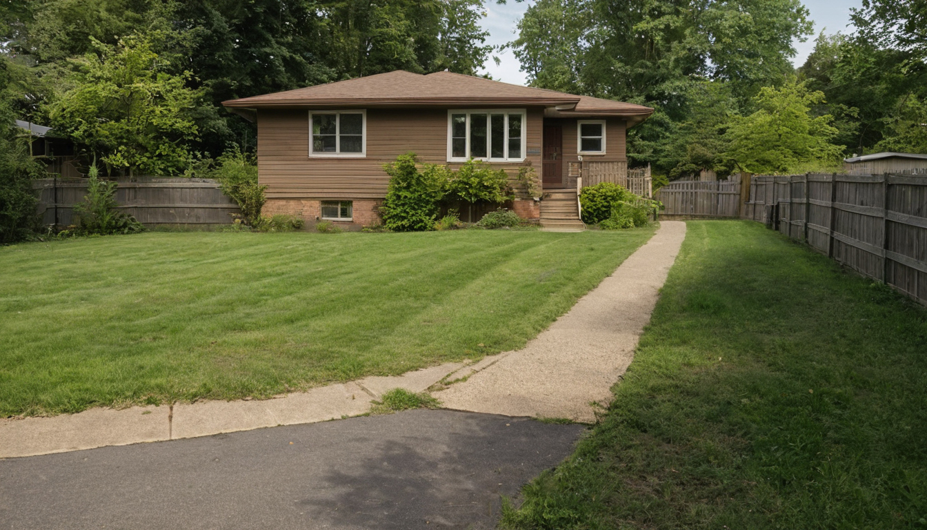
How do corner lots and irregular boundaries change setback geometry.
What does a recorded utility or drainage easement mean for house designers near me?
A recorded easement grants third parties legal access across a portion of the property and prohibits permanent structures within its boundaries. Even if local zoning setbacks allow building closer to the property line, a twenty-foot utility easement overrides that allowance, blocking foundations and footings.
A utility easement on a recorded subdivision plat reserves a strip of land for sanitary sewers, storm drains, water mains, or overhead power lines. A drainage easement reserves space specifically for stormwater flow, swales, or retention infrastructure. Both types restrict construction regardless of who owns the surface. The municipality, utility company, or homeowners association holds the right to enter, excavate, and maintain infrastructure within that corridor at any time. House designers must treat these strips as voids in the buildable envelope before drawing a single foundation wall.
Building restrictions inside an easement extend beyond the foundation footprint. Footings cannot encroach into the reserved width because future excavation would undermine structural support. Roof overhangs generally face prohibition when they block equipment access or violate vertical clearance requirements for overhead power lines. Retaining walls require engineered review and often written consent from the easement holder, since altering surface grades can redirect stormwater away from designed drainage paths. Fences may cross an easement, but permanent masonry or concrete barriers typically cannot. Every physical element tied to the architectural design must clear the easement boundary by the margin specified in the recorded instrument.
To verify easements, pull two distinct documents before schematic design begins. The title commitment lists all recorded easements, covenants, and restrictions affecting the parcel in Schedule B exceptions. County GIS records map the approximate location and width of public utility corridors relative to parcel boundaries. A boundary survey performed by a licensed surveyor pins the exact physical position of those recorded lines on the ground. Relying solely on a preliminary site sketch or a real estate listing description risks placing a proposed foundation directly inside a restricted zone.
The principle behind this verification process mirrors established documentation standards for permanent records: access limits and preservation boundaries dictate how physical assets are arranged around them. The National Park Service Museum Handbook provides guidance for museum collections preservation, documentation, access, and use, establishing that permanent records define physical constraints long before new layouts take shape. Residential site planning follows the same logic. Recorded plats act as the controlling document. The architectural design must route massing, grading, and landscaping around those fixed legal lines rather than assuming the entire lot is available for construction.
Consider a standard rectangular lot measuring 60 feet deep from front to rear. A municipal zoning ordinance might establish a 25-foot rear yard setback, leaving 35 feet of theoretical buildable depth. If a 20-foot utility easement runs along the rear property line, that easement occupies more than half of the remaining setback space. Foundations and structural footings cannot sit inside the 20-foot corridor. The practical buildable depth shrinks unless the designer coordinates with the utility authority to confirm whether shallow appurtenances like driveways or patios may overlap the zone without permanent below-grade obstructions.
This dimensional loss forces immediate changes to the floor plan. A two-story house planned for the rear of the lot must shift forward, compressing the front yard setback or reducing the overall square footage. Garages positioned near the rear boundary risk conflicting with underground storm infrastructure. Patios, decks, and landscape architecture elements requiring footings must route around the restricted strip. Determining where architecture ends and landscape architecture starts becomes critical here, because surface grading and hardscape placement often fall under different permitting rules than enclosed building volume.
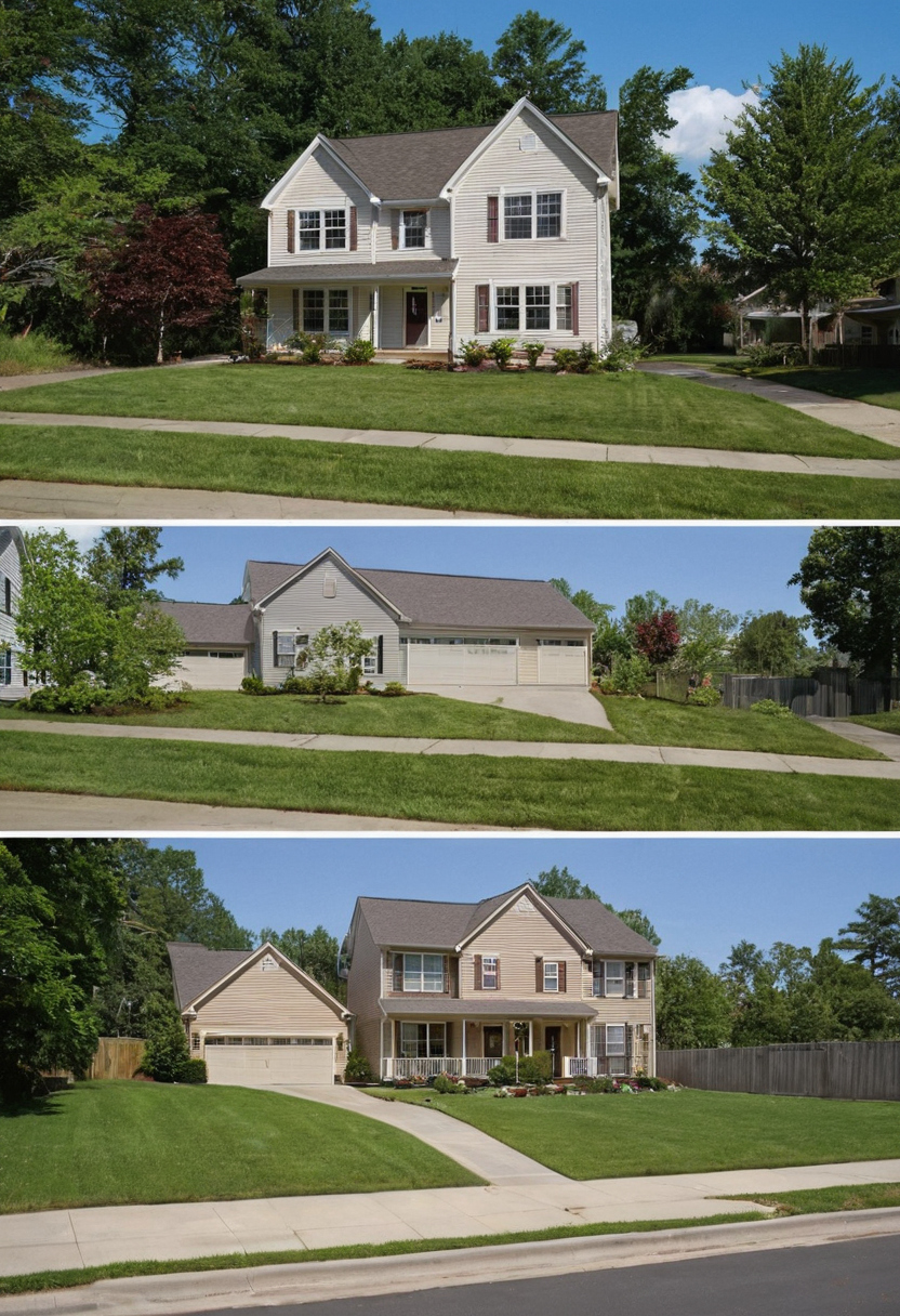
What does a recorded utility or drainage easement mean for house designers near me.
Owners searching for house designers near me should verify that their selected professional reviews the recorded plat and title commitment during the first site visit, not after drafting begins. Missing a 20-foot easement during conceptual design means redrawing exterior walls, relocating plumbing stacks, and resubmitting permit applications once the plan reviewer flags the encroachment. Once setbacks and easements define the buildable envelope, test the resulting floor plan against those hard boundaries before finalizing room layouts.
Easements shrink the lot horizontally, but fire codes and overlay districts impose additional vertical and material restrictions that further constrain the architectural design. How do zoning overlays and fire-separation distances restrict residential architecture?
How do zoning overlays and fire-separation distances restrict residential architecture?
Zoning overlays such as historic districts, floodplains, or environmental corridors add setback layers beyond base zoning. Fire-separation distances under the International Residential Code mandate exterior wall ratings based on proximity to lot lines, directly constraining window placement and architectural design choices.
Base zoning establishes the first buildable envelope, but overlay districts redraw that boundary before schematic design begins. A standard single-family residential zone might permit a 5-foot side setback, while a historic preservation overlay demands 15 feet to maintain streetscape rhythm. Floodplain overlays push the entire building footprint toward higher ground, sometimes eliminating half the lot from structural use. Environmental corridors protecting wetlands or tree root zones carve irregular no-build polygons across the parcel. Each overlay operates independently of the underlying zone, and the most restrictive dimension governs the final buildable area.
Fire-separation distance adds a constraint tied to life safety rather than land use. The International Residential Code Section R302 measures this distance from the exterior face of the wall to the nearest property line, centerline of an adjacent public way, or imaginary line between two buildings on the same lot. When that distance drops below 3 feet, the code requires exterior walls to carry a minimum 1-hour fire-resistance rating. Walls closer than 3 feet also prohibit glazed openings entirely. Between 3 feet and 5 feet, the exterior face still needs a 1-hour rating, and window area cannot exceed 25 percent of the wall surface. Beyond 5 feet, unrated construction with unlimited glazing becomes permissible. These thresholds dictate massing. A narrow urban infill lot forces solid, rated party walls on both sides, leaving only front and rear elevations for natural light. A wider suburban parcel relaxes those requirements, allowing fenestration on all four exposures.
Architectural design responds to these limits by rotating floor plans, stacking program vertically, or introducing interior courtyards where perimeter walls must remain opaque. Understanding how fire-separation rules interact with overlay setbacks prevents costly redesigns after drawings are already underway. Once you test a residential floor plan against these combined boundaries, the remaining buildable volume often looks nothing like the original site sketch.
Jurisdiction-specific examples show how overlays override base rules. Coastal municipalities frequently apply dune protection setbacks that shift the buildable envelope inland regardless of the underlying residential district. Hillside ordinances limit grading footprints and require stepped foundations, effectively reducing the flat pad available for a conventional slab-on-grade house. Airport approach zones cap building heights at intervals tied to runway distance, forcing single-story layouts on lots zoned for three stories. In each case, the overlay dictates massing first; the floor plan follows.
Non-conforming lots present a distinct challenge when existing dimensions fall short of current codes. Property owners typically pursue one of two paths: an administrative adjustment or a formal variance. An administrative adjustment applies when the requested deviation falls within a defined tolerance, often 10 to 20 percent of the required dimension, and meets specific findings without triggering a public hearing. Planning staff reviews and approves these requests relatively quickly. A formal variance addresses larger deviations or hardships that do not fit adjustment criteria. Variances require a public hearing before a board of adjustment or zoning appeals board, demand proof of unique physical hardship unrelated to the owner’s actions, and carry longer timelines with uncertain outcomes. Choosing the correct path determines whether a project proceeds on schedule or stalls for months.
The division of labor during this phase matters. Zoning analysis establishes the hard boundaries. The next step places recorded easements as physical obstructions within those boundaries, completing the constraint map needed before any pencil touches paper.
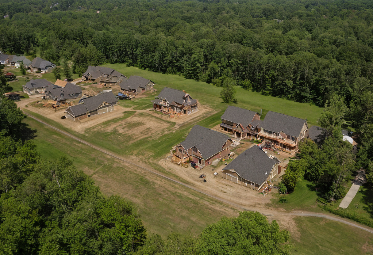
How do zoning overlays and fire-separation distances restrict residential architecture.
Checklist: Mapping constraints before starting architectural design
Before drafting floor plans, owners must map all legal and physical constraints onto a boundary survey. This checklist helps calculate the buildable envelope accurately, preventing costly redesigns when utility easements, fire codes, or zoning overlays conflict with the proposed architectural design footprint.
Obtain the required documents before drawing any lines. A recorded subdivision plat establishes lot dimensions and shows dedicated utility corridors. A zoning compliance letter from the local planning department confirms applicable front, side, and rear setback distances, height limits, and any overlay districts. A boundary survey locates existing improvements, monuments, and recorded easement boundaries relative to property corners. Relying on a mortgage location sketch instead of a full boundary survey risks missing narrow drainage swales or shared driveway encroachments that shrink the buildable area.
Draw the buildable envelope polygon directly over the survey using these steps:
Confirm no unrecorded prescriptive easements exist by walking the site and reviewing the title commitment Schedule B exceptions. Look for paved paths crossing the lot, overhead power lines lacking a recorded corridor, or adjacent properties draining stormwater across the boundary. These physical conditions can establish legal access rights that further reduce the buildable envelope even without a recorded document.
Completing this constraint map changes how owners evaluate architectural fee proposals. A proposal that includes verified site analysis avoids paying twice for layout revisions forced by an undiscovered easement or fire separation requirement. Hire an architect who maps these boundaries first, then draws the house.
For more on this topic, see other guides on this site.